FAA Chart: VFR Sectional CHICAGO SCHI (Current Edition)

(776 reviews)

Price
$6.58

Quantity
(10000 available )

Total Price
Share
14 Ratings
13
0
0
0
1
Reviews
  • Mornblade

    > 3 day

    Very useful! Sized and folded like a road map. Lots of helpful information. Im a drone pilot and this lets me plan my jobs better, without typing each address into Airmap individually. Received mine from Ruby and Rudy books, cant recommend them enough!

  • Mr. Zachery Donnelly

    > 3 day

    Product was perfect

  • MARK M

    Greater than one week

    It was the right sectional

  • Jute

    > 3 day

    The item arrived in a good condition, as described.

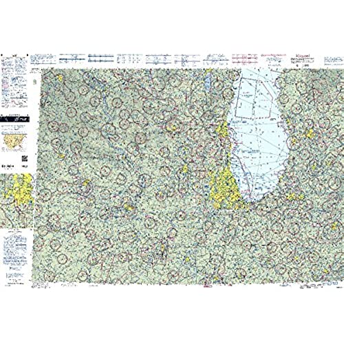
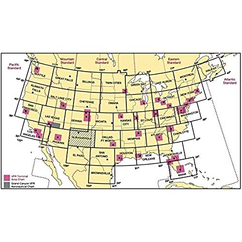
The FAA"s perennially popular Sectional Aeronautical Chart series is the primary set of navigational publications designed for aviators who fly by external visual reference. These foldable, full-color charts are loaded with valuable aviation data including airport info (runway lengths, lighting, elevation, services available, surface type, etc.); airspace dimensions; VHF and LF/MF navigational facilities (frequency, ID, and channel); landmarks; cities & towns; elevation/topographic info; ATC entities and associated contact/radio frequencies; bodies of water; obstructions; and much, much more.The Chicago Sectional covers the airspace over much of Northern Illinois and Indiana, as well as portions of Wisconsin, Michigan, Iowa, and even a sliver of Minnesota. Uses the standard 1:500,000 (6.86 nm per inch; 2.70 nm per cm) scale characteristic of sectional charts. Updated every six months. An affordable, info-packed source of relevant FAA data that should be a "no-go" item in every Chicago area pilot"s flight bag.

Related products

Shop
( 2365 reviews )
Top Selling Products