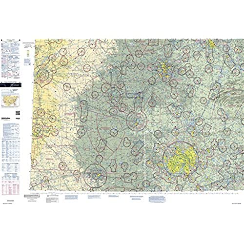
FAA Chart: VFR Sectional DALLAS SDAL (Current Edition)

(692 Reviews)

Price
$7.09

Size
Quantity
(20000 available )

Total Price
Share
18 Ratings
17
1
0
0
0
Reviews
  • David Alan Smollen II

    > 3 day

    Paper doesnt need batteries!

  • Travis Hammond

    > 3 day

    Does what it does

  • Jim Wilson

    > 3 day

    The real deal.

  • LarryTru

    > 3 day

    It is what it is supposed to be

  • TC reviews

    > 3 day

    Fresh date so I am legal now.

  • JC in Texas

    Greater than one week

    Exactly as described

  • Destinee Dach

    > 3 day

    Great Tool...!!!!

  • Glenda

    > 3 day

    Fast shipping! Just what I needed to study legend for part 107 UAS.

The FAA"s well-known Sectional Aeronautical Chart series is the primary set of navigational publications designed for aviators who fly by external visual reference. These foldable, full-color charts are loaded with valuable aviation data including airport info (runway lengths, lighting, elevation, services available, surface type, etc.); airspace dimensions; VHF and LF/MF navigational facilities (frequency, ID, and channel); landmarks; cities & towns; elevation/topographic info; ATC entities and associated contact/radio frequencies; bodies of water; obstructions; and much, much more.The Dallas Sectional covers the airspace over much of North Texas and Southern Oklahoma. Uses the standard 1:500,000 (6.86 nm per inch; 2.70 nm per cm) scale characteristic of sectional charts. Updated every six months. An affordable, info-packed source of relevant FAA data that should be a "no-go" item in every Dallas area pilot"s flight bag.

Related products

Shop
( 2004 Reviews )
Top Selling Products