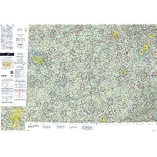
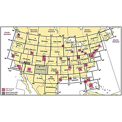
FAA Chart: VFR Sectional ST LOUIS SSTL (Current Edition)

(560 Reviews)

Price
$6.76

Size
Quantity
(20000 available )

Total Price
Share
13 Ratings
12
1
0
0
0
Reviews
  • C Baker

    > 3 day

    A very useful sectional chart that includes not only areas in Missouri, but also Illinois and Tennessee. Good price and quick shipping.

  • Rich Miller

    > 3 day

    Item was as described, new, functional, and clean. Having this item helped me prepare for the FAA test; which I just passed.

  • R miller

    > 3 day

    Used for my son who is taking pilots lessons. Worked great. Was fast shipping.

Midwest pilots who fly near the Gateway to the West need all of the essential info depicted on the St. Louis Sectional Aeronautical Chart to help keep them safe and informed throughout all phases of flight. Like all charts in the FAA"s Sectional series, this foldable, full-color chart is loaded with valuable aviation data including airport info (runway lengths, lighting, elevation, services available, surface type, etc.); airspace dimensions; VHF and LF/MF navigational facilities (frequency, ID, and channel); landmarks; cities & towns; elevation/topographic info; ATC entities and associated contact/radio frequencies; bodies of water; obstructions; and much, much more.The St. Louis Sectional covers the central portion of the US including Southern Illinois, Western Kentucky, Southern Indiana, Eastern Missouri, and slivers of TN, AR, and OH. Uses the standard 1:500,000 (6.86 nm per inch; 2.70 nm per cm) scale characteristic of sectional charts. Updated every six months. An affordable, intuitive, data-rich collection of need-to-know aeronautical info for aviators who fly the Heartland skies.

Related products

Shop
( 2225 Reviews )
Top Selling Products